Australian Van Life, Travel Guides & Brand Stories
We’re Wade and Dani. Five years on the road across Australia, two van builds, and a growing global audience.
Brands We’ve Worked With
BAGSMART · Smiths Chips · Dometic · MyGenerator · MaxxAir · Carbuilders · Raptor Australia · Living in a Bubble
Featured Travel Guides
Our most popular destination guides, updated for 2026.
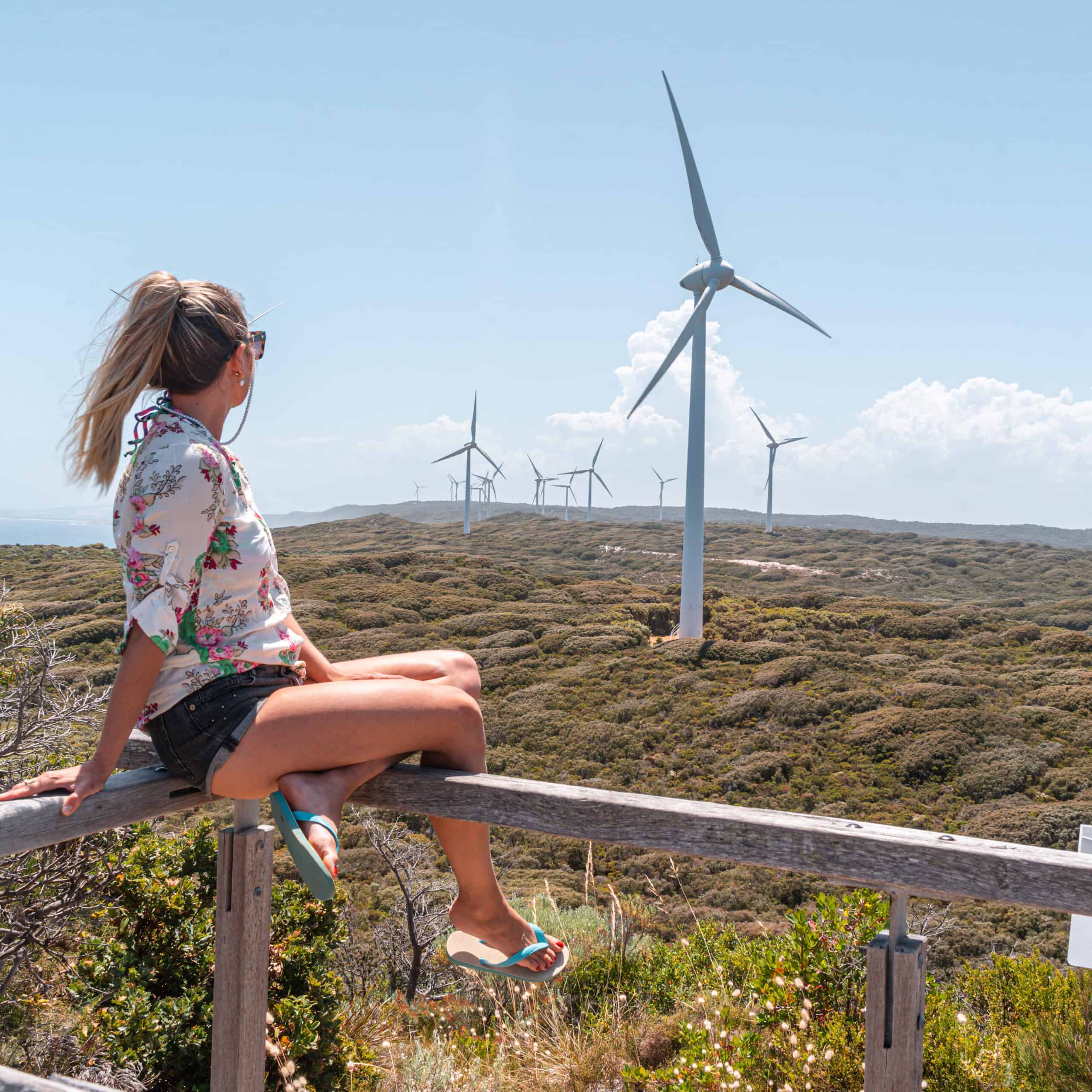
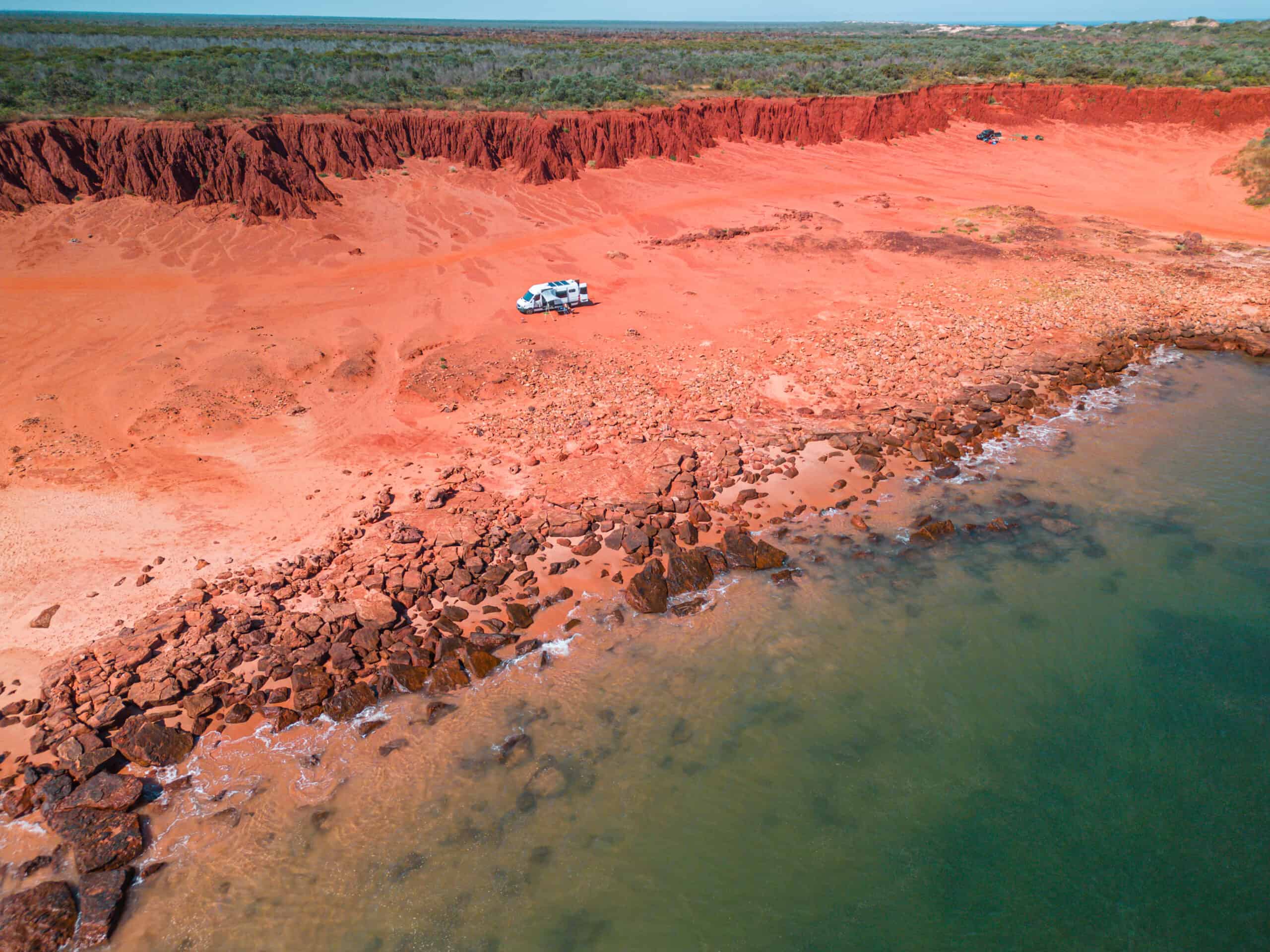
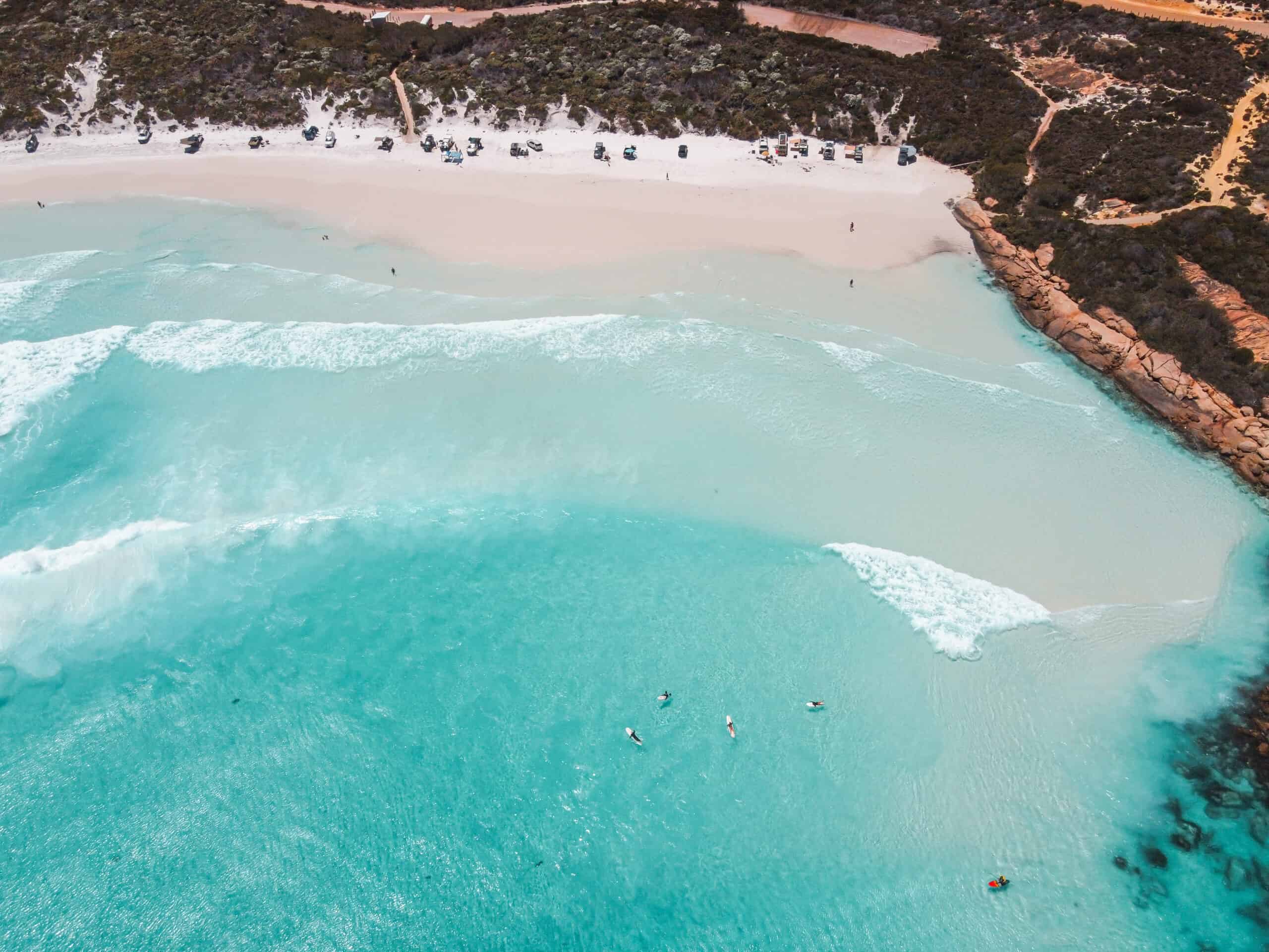
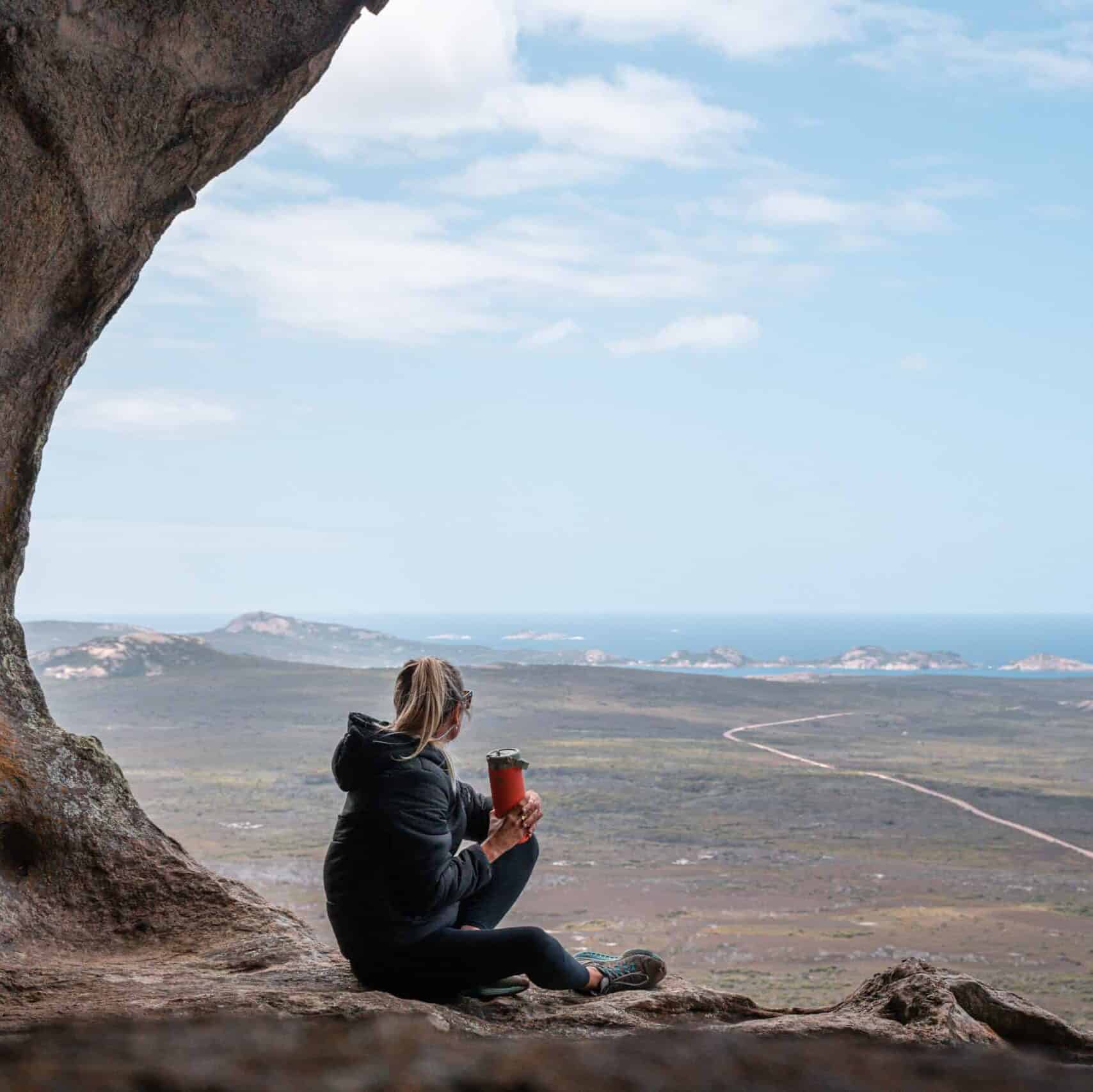
23 Things To Do in Albany
Western Australia’s stunning south coast — beaches, hikes, and whale watching.
Our Story
An Australian and a Brazilian who met on Tinder, built a campervan with zero experience, quit their office jobs, and spent five years travelling full-time across Australia. Along the way, they grew a bilingual audience of 150,000+ and turned content creation into a career. Now based in Sydney — but the road is never far away.
Coming Soon: Digital Products
Everything we’ve learned on the road — packaged up and ready to share.
Van Build Blueprint
Step-by-step guide to building your own campervan — electrical, plumbing, cabinetry, and everything in between.
Coming soon. Join the waitlist.
Content Creation Toolkit
How to build a travel brand from scratch — gear, editing workflows, growing an audience, and landing brand deals.
Coming soon. Join the waitlist.
Making Money on the Road
The real numbers behind full-time van life — income streams, costs, and how we made it sustainable.
Coming soon. Join the waitlist.
[DANI: Add email capture form here — Mailchimp or WPForms integration for waitlist signups]
